Walking6 min read
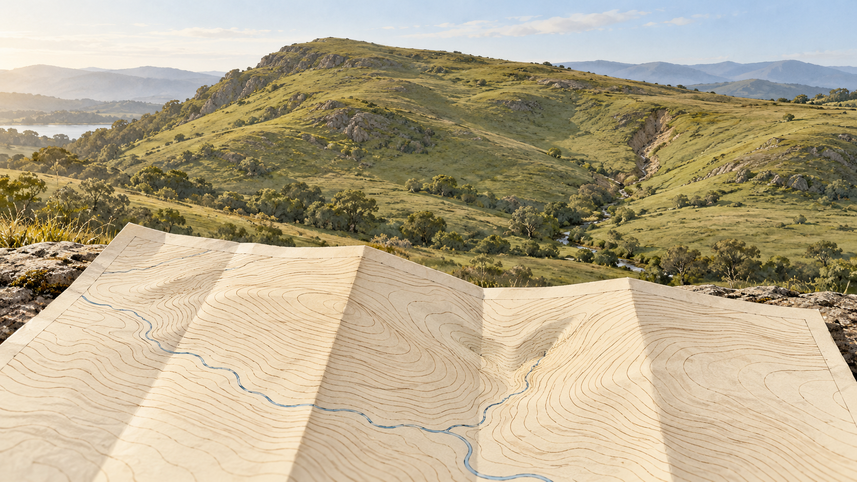
Reading a walking map where the contour lines tighten
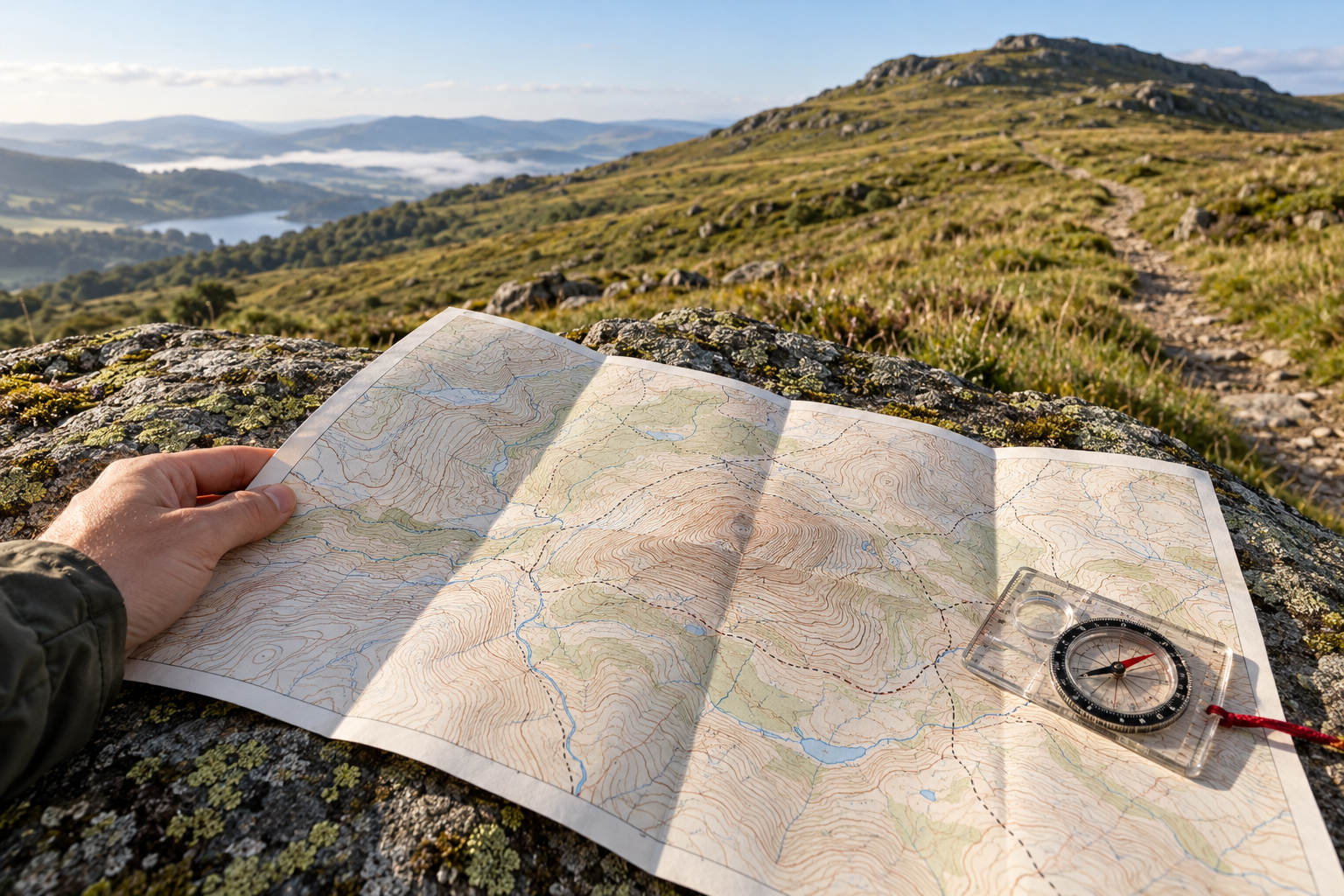
Crowded contour lines reveal a steep hillside, but a walker's route depends on the contour interval, map scale and the path's direction through the slope.
A little inspiration. A new way of seeing.
Discover thoughtful stories from people
with something to say.
For the endlessly curious.
Read widely, at your own pace.
6 stories found Clear filters ↗
Crowded contour lines reveal a steep hillside, but a walker's route depends on the contour interval, map scale and the path's direction through the slope.
Contours give a hillside selected equal-height lines. The space between them still holds benches, hollows and changes of grade that a map reader has to infer carefully.
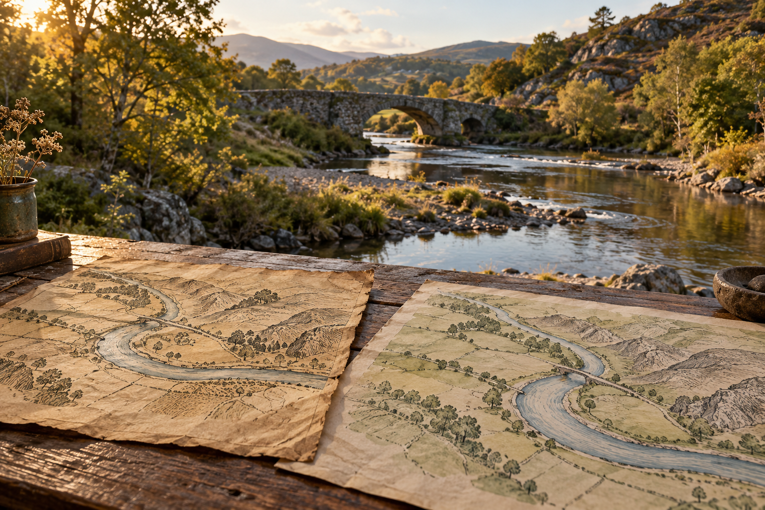
A river or settlement keeps drawing new speakers even as languages change. Borrowed sounds, official maps and living local knowledge explain why old names persist, shift, disappear from records or return.
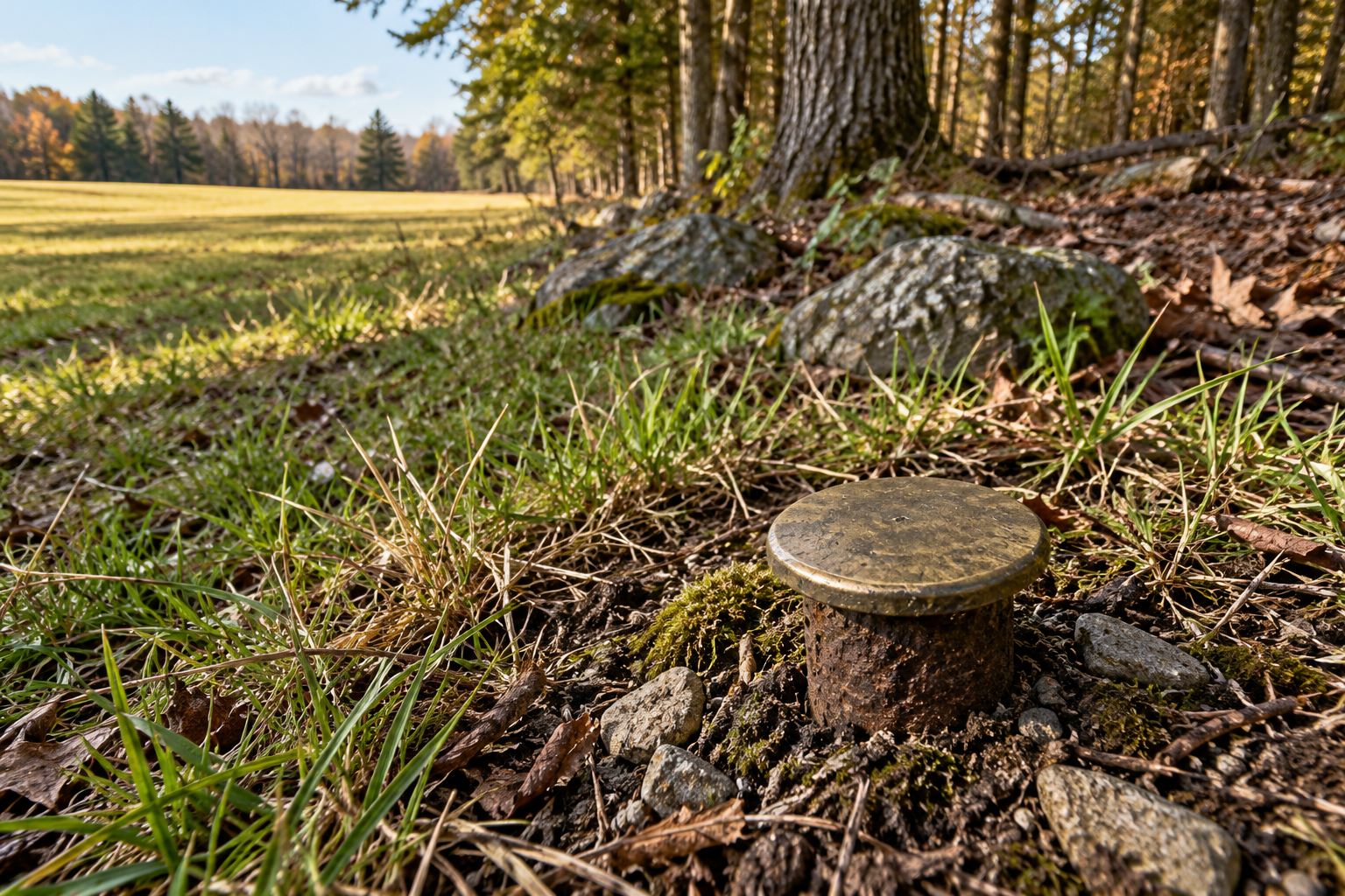
A survey corner survives through more than a metal cap. Original notes, nearby witnesses, later records, and a disciplined search can recover its position when the mark disappears.
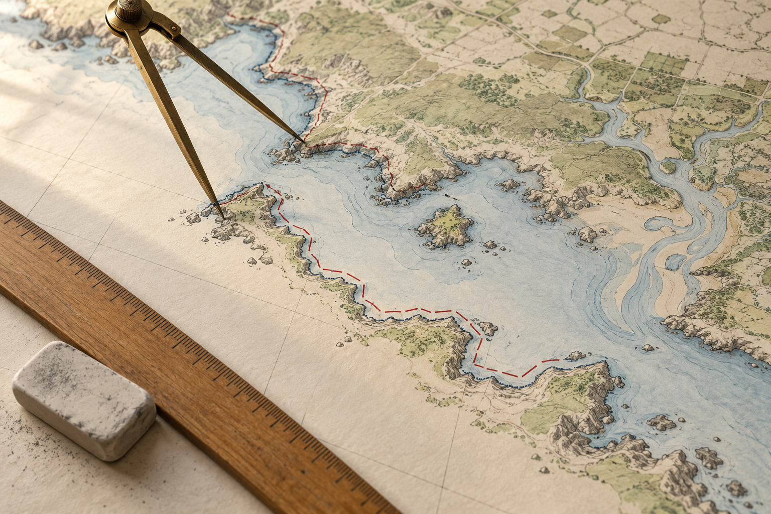
A coastline figure depends on the chosen waterline, the inlets and islands counted, the map's resolution and the survey date. Those choices explain why two careful measurements can differ.
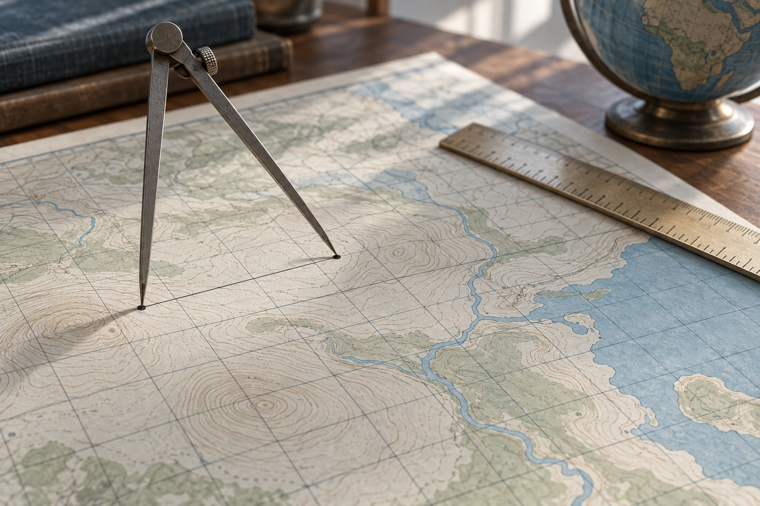
A map's grid gives useful distances, but a projected line, a line on the reference ellipsoid and a measured line on the ground are different quantities. The difference can matter well before a map looks visibly distorted.